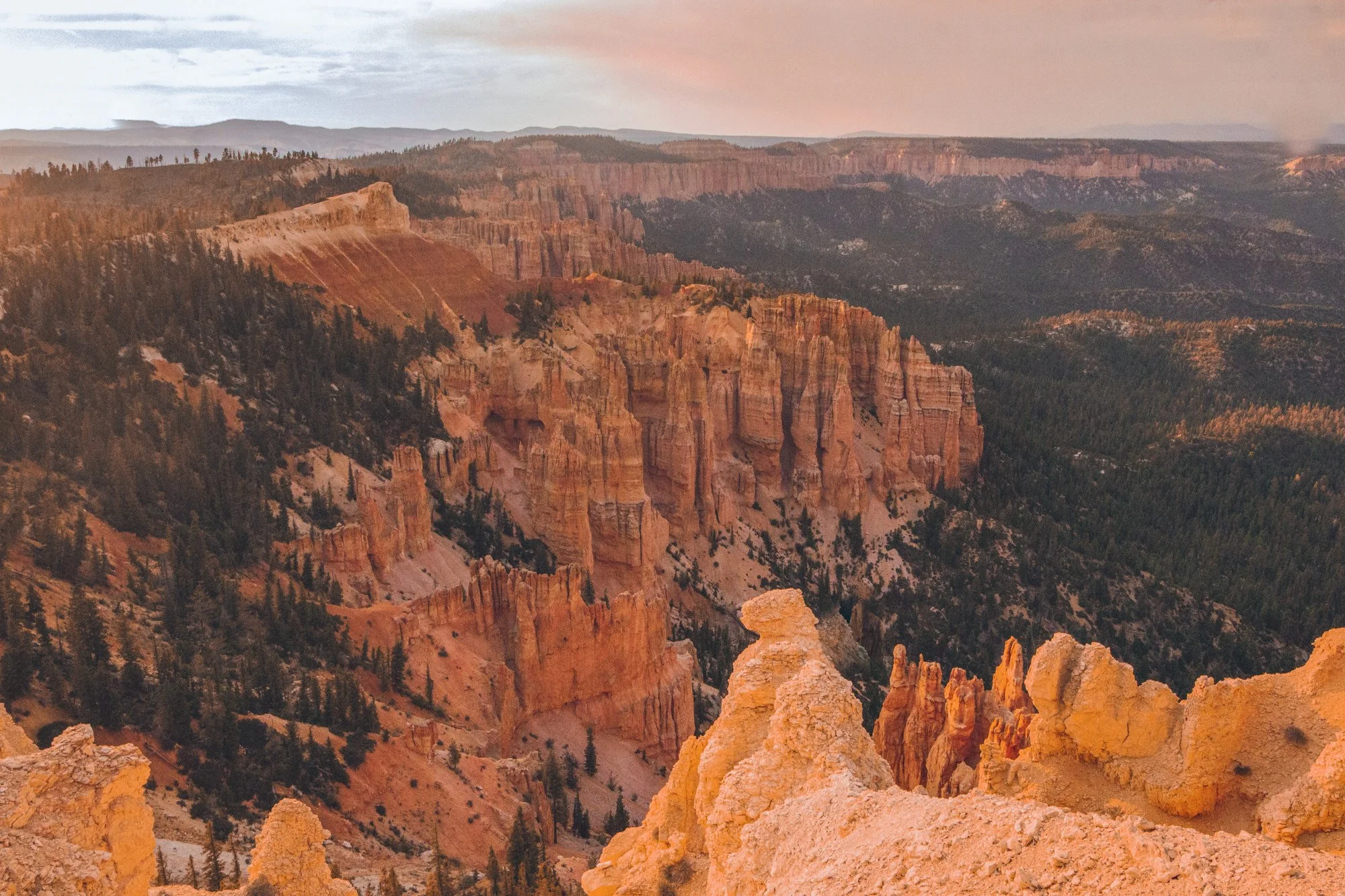


Are you heading on a Big Sur drive soon? Do you love waterfalls, hiking, beaches, wildlife…
…and being out of contact from the rest of the world?
Then read on because I am about to share my secrets with you, fellow budget traveler, with these 11 free things to do along the remote coast of Big Sur, California.
I’m a California native who has driven allll the way up and down our large state (from Mexico to Oregon and back) several times - both on my own and with friends.


I’ve written this article from my own recent experience doing the Big Sur drive post-pandemic with a friend. The untouched beach bluffs that greet you with a different personality every morning remain a photographer’s dream!
Note: Before you hit up these free things to do on your Big Sur drive, you absolutely need to make sure you have maps downloaded offline since the internet will not work at all on this remote coast. You can use the free app maps.me to download the map of California. Make sure you save all these locations beforehand, so you have all the hiking trails and campsite locations. You’ll need them.
Now, get ready to hit the road!

Your Big Sur drive is the place to unplug, get lost, and find your spirit along the unforgiving coastline.
The Mystical Big Sur drive
Dark, brooding beaches exist without another pair of footprints in sight.
Purple sand sprawls next to thick sea stars chilling on rocks, while miniature crabs scuttle about.
Sparkling lime waterfalls surprise hikers at the end of miles and miles of overgrown forest trails.
And bushels of poison oak claw at you from every corner.
I spent 5 days with no cell service exploring the longest stretch of undisturbed coast in the United States: Big Sur, California.
90 miles along Pacific Coast Highway 1 in Central California from Carmel to San Simeon brims of rocky beaches with character and redwood mountains so steep they’ll bang up any car smaller than a Jeep.
Upon arrival, it is easy to understand why Big Sur glitters majestic.


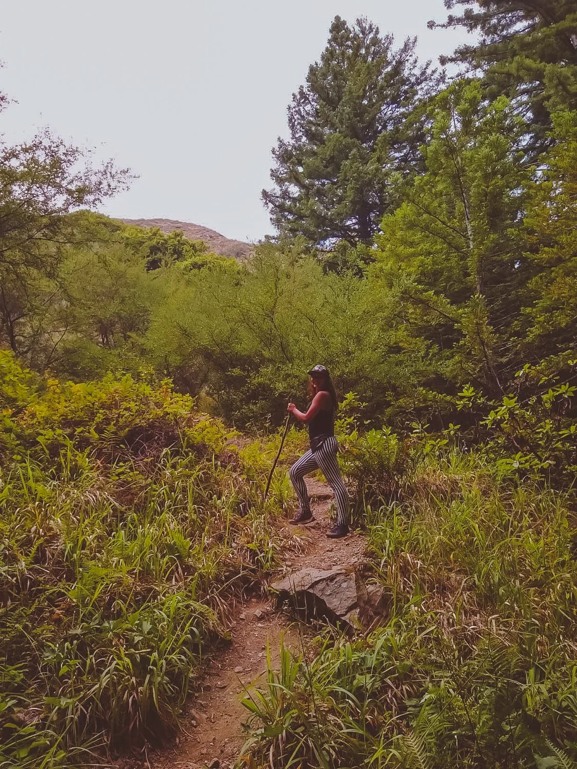
For rugged campers or backpackers, the solitude experienced on the Big Sur drive is a dream. You must have an offline map to find your way around the less-visited landscape, while families will probably stick to the state parks.
Besides privacy, the preservation of the area maintains that Big Sur will always stay true; the flora and fauna will (hopefully) continue to flourish, and it gives people a chance to see how beautiful California would be without infrastructure.

Lastly, Big Sur wows due to its affordability. If you are craving a getaway and know how to pitch a tent, you can visit Big Sur for the price of food and gas.
I will note that state parks charge $10 for cars, but there are ways to get in free as well which I will detail below.
Ok Wolfette, here are 11 free things to do on your Big Sur drive in California, from a local:
11. Observe the Elephant Seals in San Simeon
Location on Google Maps: Elephant Seal Vista Point

Those aren’t rocks… they’re elephant seals laying down!
Our first Southern stop on the way to Big Sur proper was an unexpected turn at the Elephant Seal viewing area in San Simeon.
Don’t let the mellow photo fool you. These elephant seals play-fought in the water together and bounced along the shores until we experienced cuteness overload.
Yes, it’s free like everything else on this list. You’ll just stop on the side of the highway for your up close encounters with wildlife.
10. Swim at gorgeous Salmon Creek Falls
Location on Google Maps: Salmon Creek Trailhead
Hiking distance: 0.3 miles

Wow! These gorgeous, green falls at Salmon Creek reside just a short walk from highway 1, so no strenuous hiking is involved.
Keep an eye out as you map your Big Sur drive, because you’ll have to quickly park at the side of the road (no parking lot) on a busy bend of highway.
Wade, swim, and jump in the emerald pool to cool off. If you desire a longer hike, you can continue up the trail to Upper Salmon Creek Falls, about 5 miles round trip.
9. Slide down Ragged Point and enjoy a private beach
Location on Google Maps: Ragged Point Inn & Resort
Hiking distance: 0.8 miles


Ragged Point is a steep hike that leads you down the cliff to a gorgeous, quiet sandy beach where you will probably be alone, due to the nature of the trail.
You will park in the same parking lot as Ragged Point Inn & Resort, with the trailhead behind the hotel.
To make the descent safely, you’ll want athletic shoes with traction since the loose dirt tended to slide underneath your feet.
We had fun stomping and jumping around the round rocks at the bottom and finding our own hideaways for about an hour.
8. Discover hidden Redwood trees at Redwood Gulch
Location on Google Maps: Nathaniel Owings Memorial Redwood Grove
Hiking distance: 0.6 miles
We missed the stop at Redwood Gulch, because no sign warned us along the road. After turning around and going back to the coordinates of the unmarked turnoff, we spotted a thin beige path.


This unassuming path led us to the location of the southernmost Redwood trees, lining a watering hole perfect for a skinny dip.
The humble falls and musky forest seemed to be plucked out of a fairytale. (Any 90’s babies remember the cartoon forest nymph, Fern Gully?).
7. Slink in the caves at Sand Dollar Beach
Location on Google Maps: Sand Dollar Beach


Sand Dollar Beach might possibly be our favorite beach in California.
We discovered several spacious caves on the edge of the beach, large enough to walk around in and relax. The caves resembled secret auditoriums, a shaded paradise away from the world while we lazily peered out at the blue horizon.
In addition to private caves, the beauty and adventure lured us in. The water appeared so clear and pristine that you could see each grain of sand beside your toes. The sky reflected off the sand, projecting an infinite sapphire vortex.
To avoid any fees, simply park on the street outside of the parking lot.
6. Camp above the clouds
Location: Hidden (Details below)

Big Sur’s low-brewing clouds prove eerily reminiscent of a James Bond film, paired with boosted high mountains that call in the heavens.
Although most official campgrounds were listed around $40-$70 per night, you can save the cash and camp for free in several astounding locations throughout Big Sur.


Instead of giving away all the secrets here and exposing the spots, I recommend you use the apps and websites Campendium, Boondocking, or freecampsites.net to check out the updated campsites that other reviewers have listed. These are the tools I always use on my primitive camping journey, along with maps.me.
A lot of these camp spots require a four-wheel drive vehicle to reach them (we learned the hard way) and may be unofficial, but they will usually be free.
Other non-free options include looking on Hipcamp (like Airbnb, but for camping) or camping within the state parks and official campgrounds (Kirk Creek campground has an awesome view!).
5. Take a magical hike along Mill Creek
Location on Google Maps: Mill Creek Trailhead
Hiking distance: 2.3 miles
Zip down the mile-or-so-long trail to quiet Mill Creek, where you can walk-in camp or just chill by the creek in a forest-flooded daze.

The forest quickly transformed into pages of a storybook: illustrations depicted sleeping wood, golden sunlight peaking through the standing beauties, and viney grottos to soak in.
We plummeted to the bottom of the valley and turned left along the creek, following the water’s way to increase the trail length. Just watch out for poison oak and snakes along the way (and bring warm clothes for after that icy fresh bath, even in Summer.)
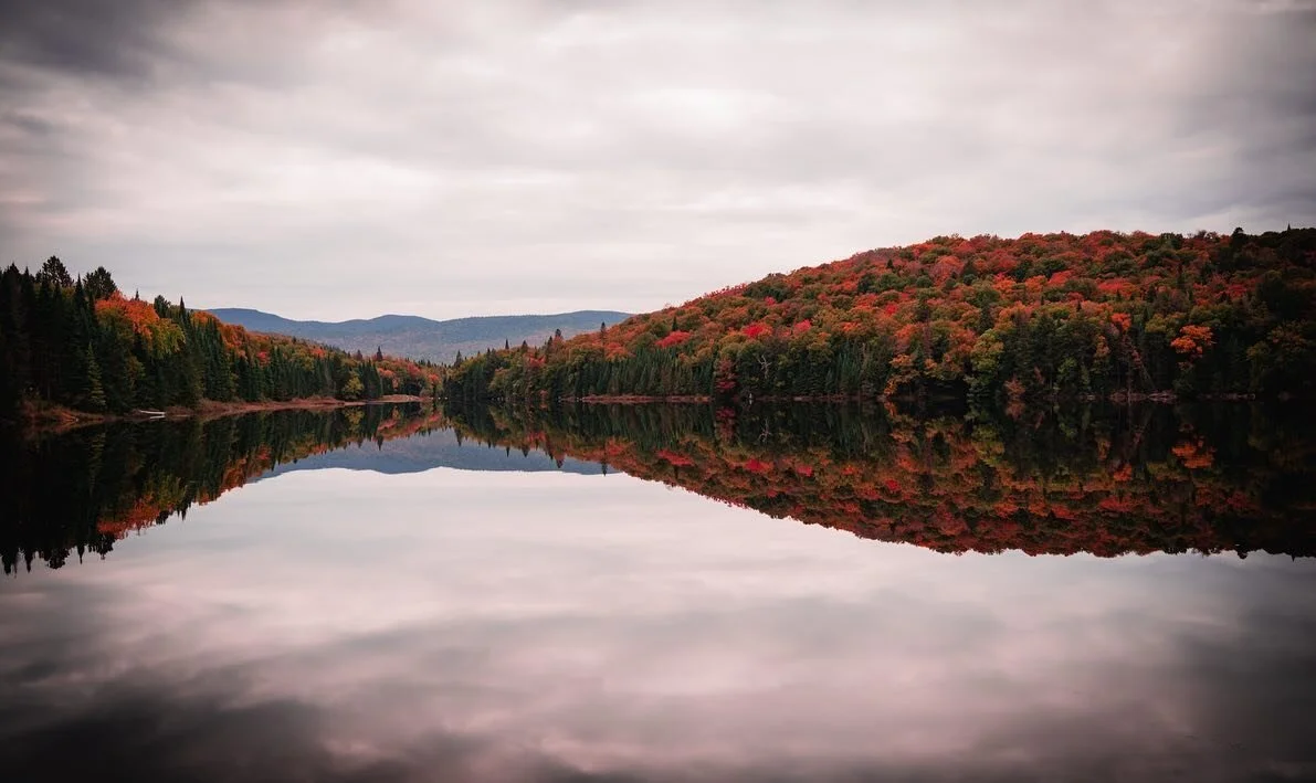
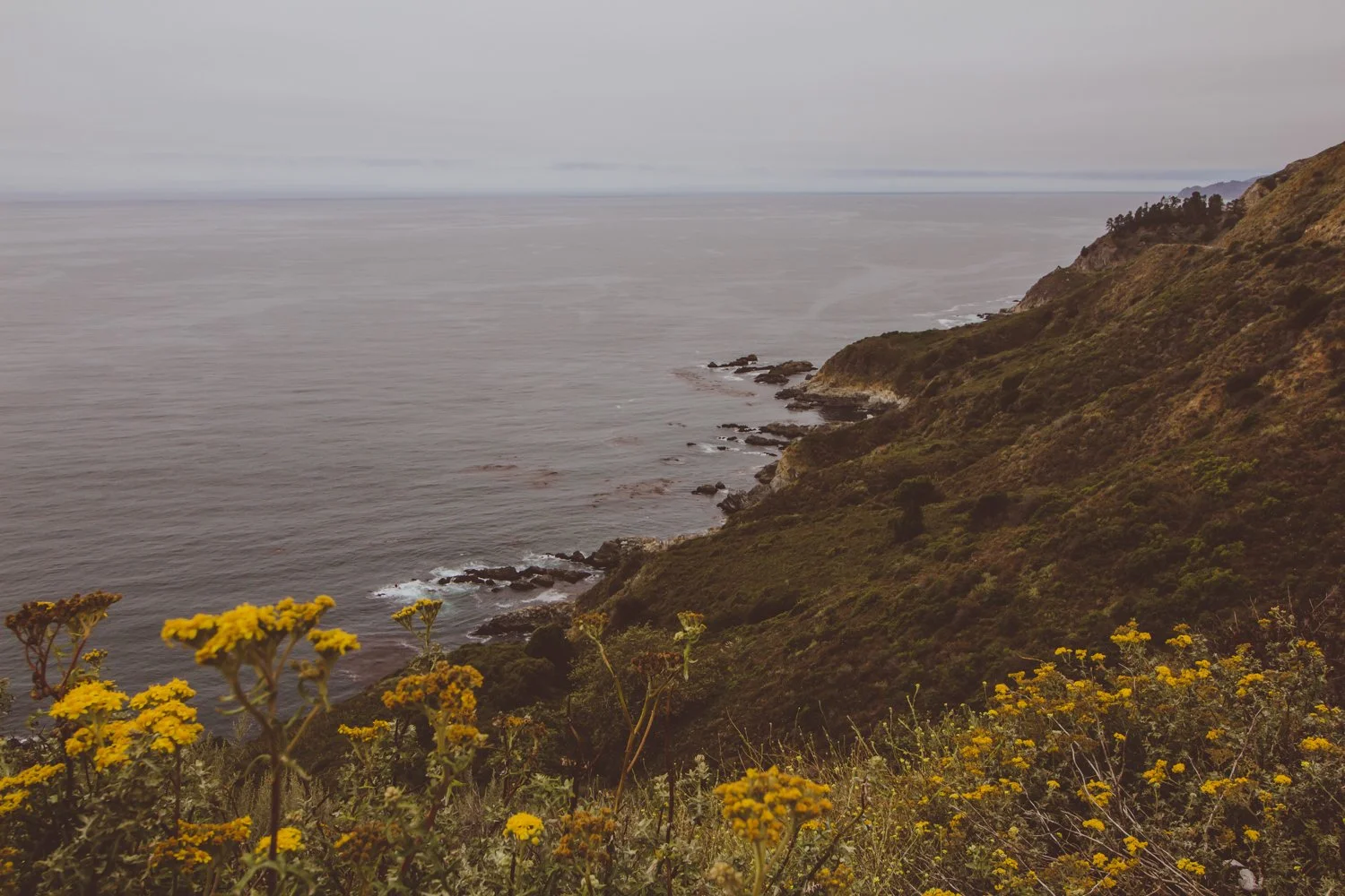
4. Prance in purple sand at northern beaches
Location on Google Maps: Andrew Molera Beach or Pfieffer Beach

Our Big Sur drive displayed a rainbow of colors, from purple sand to green forests, blue skies, and orange Golden poppies.
The rose tinted bluffs, like in the photo above, scatter purple sand along Pfeiffer and Andrew Molera beaches.
You’ll have to visit the beach to find the most concentrated areas, where the sand is literally bright violet.
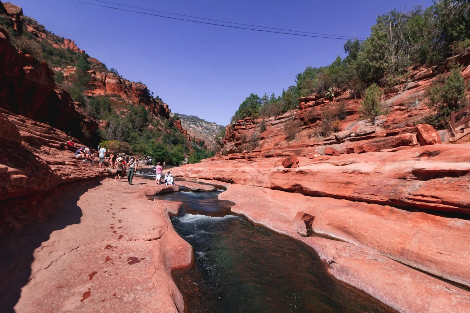
3. Tread in the Big Sur River
Location on Google Maps: Big Sur River Gorge


Our beloved sun’s UV rays don’t take the day off even when the weather is overcast, so we sought a brief whisper of shade along the Big Sur River.
The River Gorge forms a swimming hole in crystal clear pools after a mellow trail.
2. Visit the renowned state parks
Seeking a remote escape, travelers can receive free hugs from the wildflowers, arbors, and aquatic bodies that live in Big Sur’s state parks.
Winding miles and miles of trails in these state parks each tell their own chapter in Big Sur’s anthology.
While most of the parks are $10 for cars to park, you can instead park on highway 1 and enter them for free on foot (except for Limekiln: no walk-ins).
If you do decide to purchase the $10 parking pass for any of the following parks, the pass is valid for any of the other parks on the same day - essentially free.
Limekiln State Park
Location on Google Maps: Limekiln State Park
Arrive before 10AM to get a parking spot in this southern state park.
Skip over to Limekiln Creek Falls for a dreamy staircase of cascades, and follow along peaceful Hare Creek for a 2 mile nature walk.
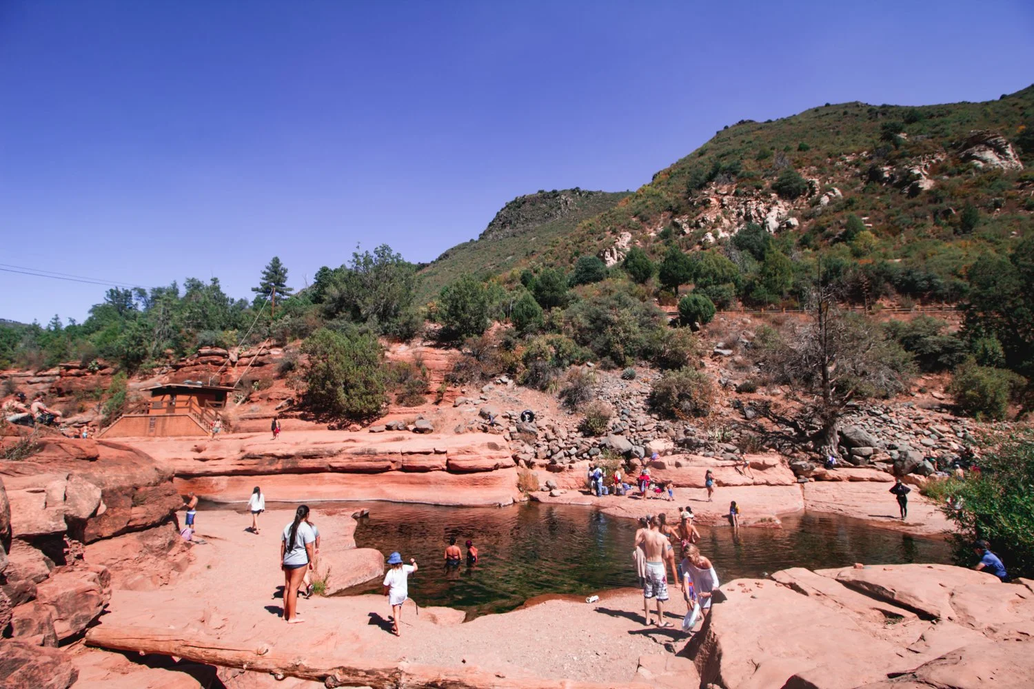
Pfeiffer Big Sur State Park
Location on Google Maps: Pfeiffer Big Sur State Park


The Pfeiffer Falls and Valley View combination route guided us to a modest-falling spout, though nonetheless enchanting, and a sunny lookout to reward our sweaty backs at the top.
The most well-rounded journey is Buzzard’s Roost trail, a spellbinding path sprinkled with young redwoods, tricky hills, and the Big Sur River welcoming you at the front door.
Julia Pfeiffer Burns State Park
Location on Google Maps: Julia Pfeiffer Burns State Park
The picturesque McWay Falls graces postcards and magnets as an icon of Big Sur proper.
Besides the falls that tumble onto a scenic, teal beach, the park charms with a secluded silver bay and cliff-hanging trails.
Andrew Molera State Park
Location on Google Maps: Andrew Molera State Park


Combine the Beaches (easy), Bluffs (moderate), and Ridge (strenuous) trails for a heart-beating 8-mile adventure, or simply pick one to wander along.
If the fog clears out along the Ridge trail, you’ll get a panoramic view of baby blue waters among the fragrant foliage — though you’ll have to climb dozens of flights to earn it.
For a less mobile day, indulge in pure beach access at Molera Point.
1. Pick your own seascape spot for an epic vista picnic
Location: Anywhere there’s a turnoff

The Big Sur drive is full of epic views like these, with no one else around…
Sometimes, the most precious pleasures are the freedoms you create yourself.
Roll up a quilt and tuck in sandwiches, muffins and hot coffee. Simmer over to a turnoff on the coastal highway, and enjoy a picnic overlooking one of the last natural places in the world.
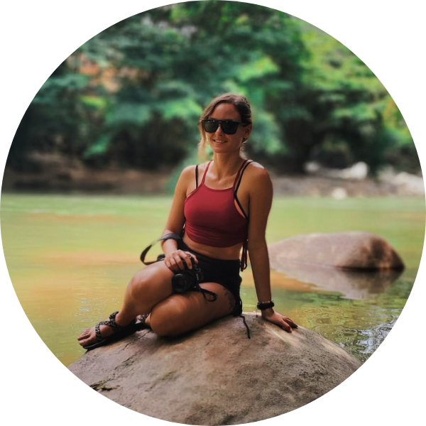
hi wolfette, i’m molly
Travel is a spiritual experience for me, especially when adventuring solo.
After visiting 6 continents on my own, I’ve dedicated this project to assisting other Lone Wolfettes on their journeys.
I hope my travel guides help you find the same joy, connection, and empowerment that exploring our planet has given me.